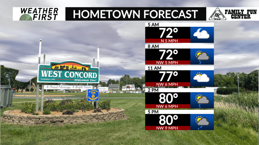
Warm, humid Tuesday with isolated shower, thunderstorm possible
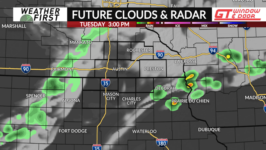
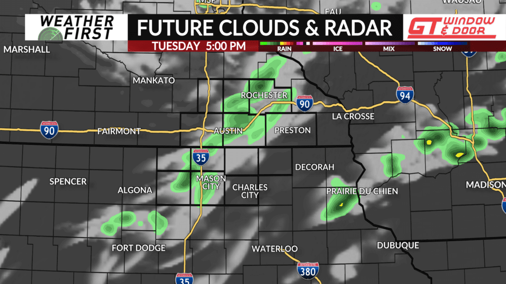
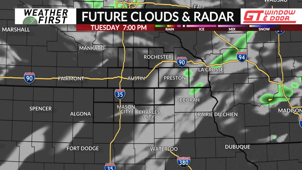
A few isolated showers and thunderstorms will be possible during the late afternoon and early evening, but most are expected to stay dry.
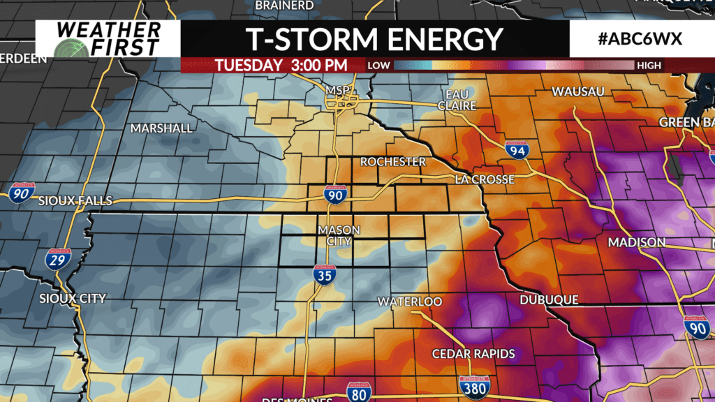
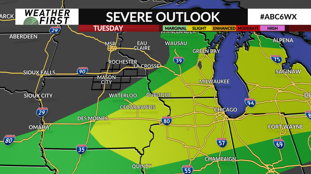
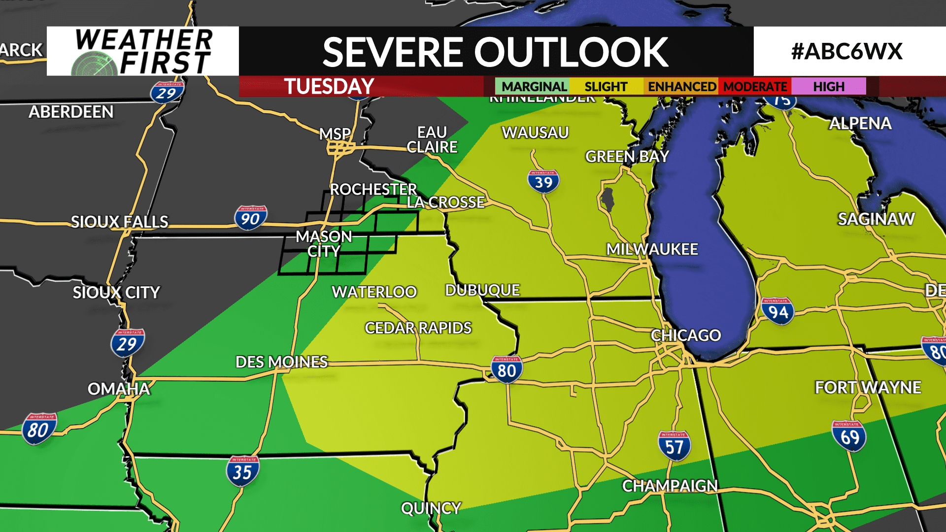
A frontal boundary will sag south to near or south of the Minnesota-Iowa state line during the afternoon hours as energy rotates through the region and interacts with the front likely popping a few showers and thunderstorms.
Severe weather is not expected as the Storm Prediction Center has shifted severe weather probabilities further south of the Weather First area.
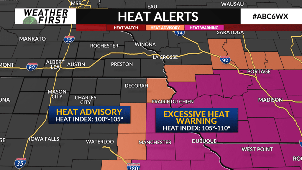
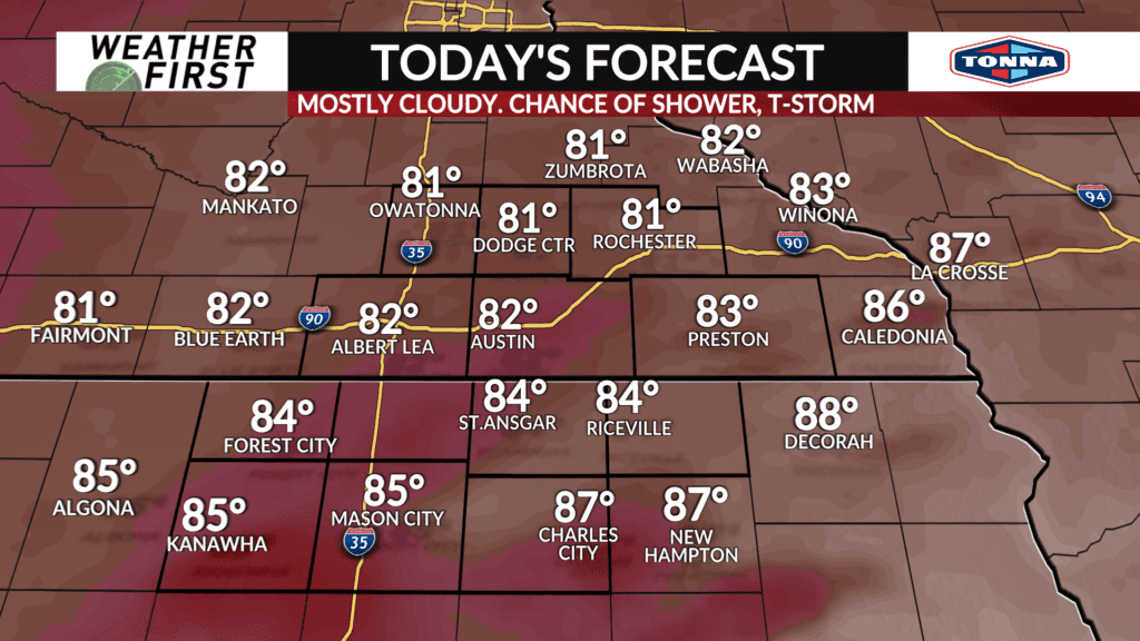
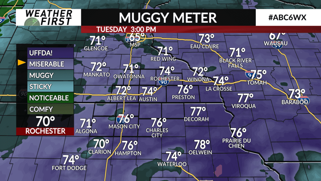
Otherwise, it won’t be as hot and humid as it was on Monday, but it still will be plenty warm and muggy with high temperatures expected to be in the lower-to-middle 80s with some upper 80s likely in far northeast Iowa where a HEAT ADVISORY is in place on Tuesday afternoon. The bulk of the heat is expected to be in far eastern Iowa and southern Wisconsin where EXCESSIVE HEAT WARNINGS are in effect where the heat index (feels-like) may climb to 110°.