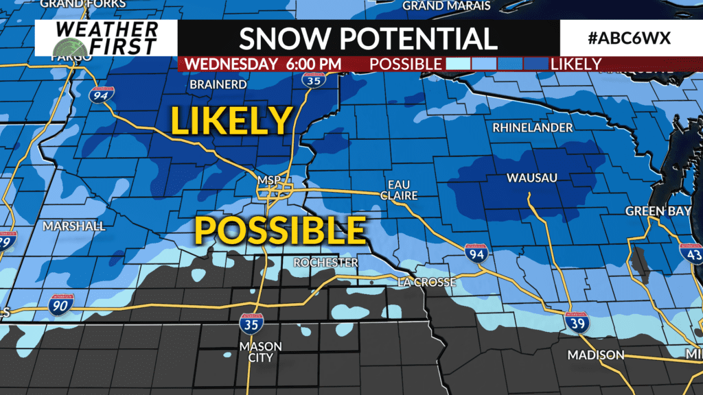
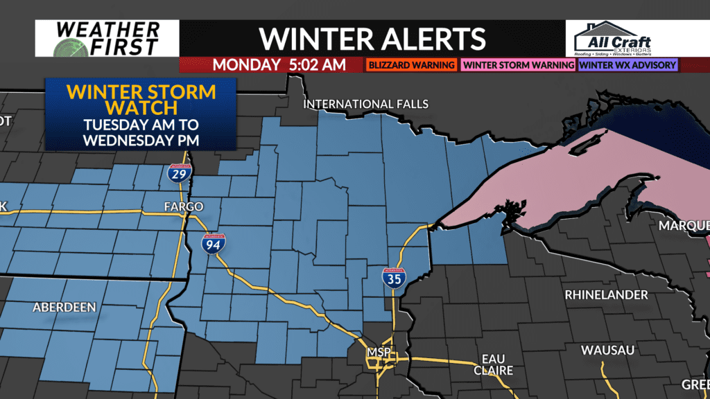
Rain, some snow and gusty winds likely Tuesday through Wednesday
A storm system is set to impact the area with rain, some snow and gusty winds beginning Tuesday and lasting through Wednesday.
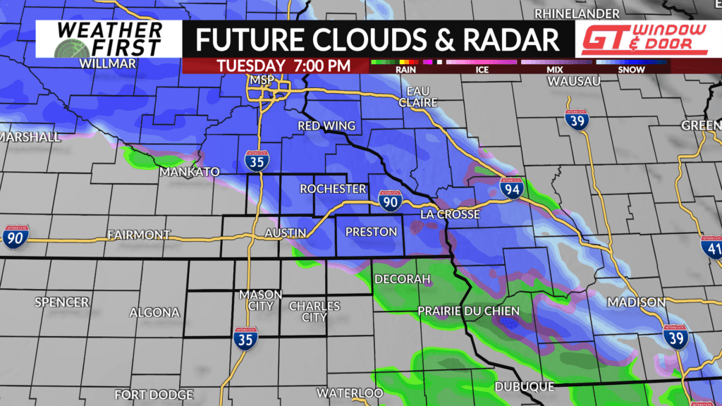
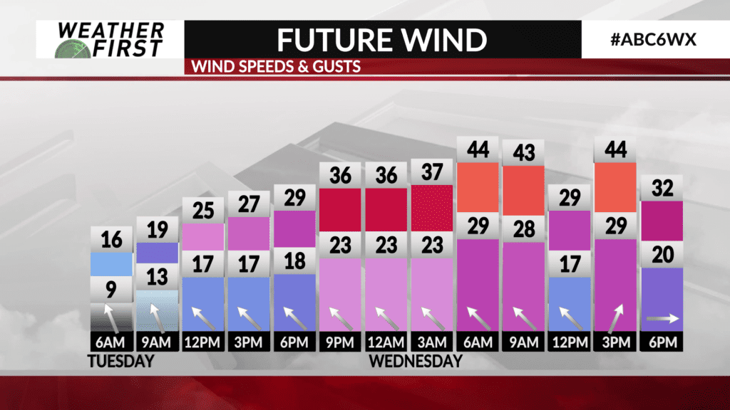
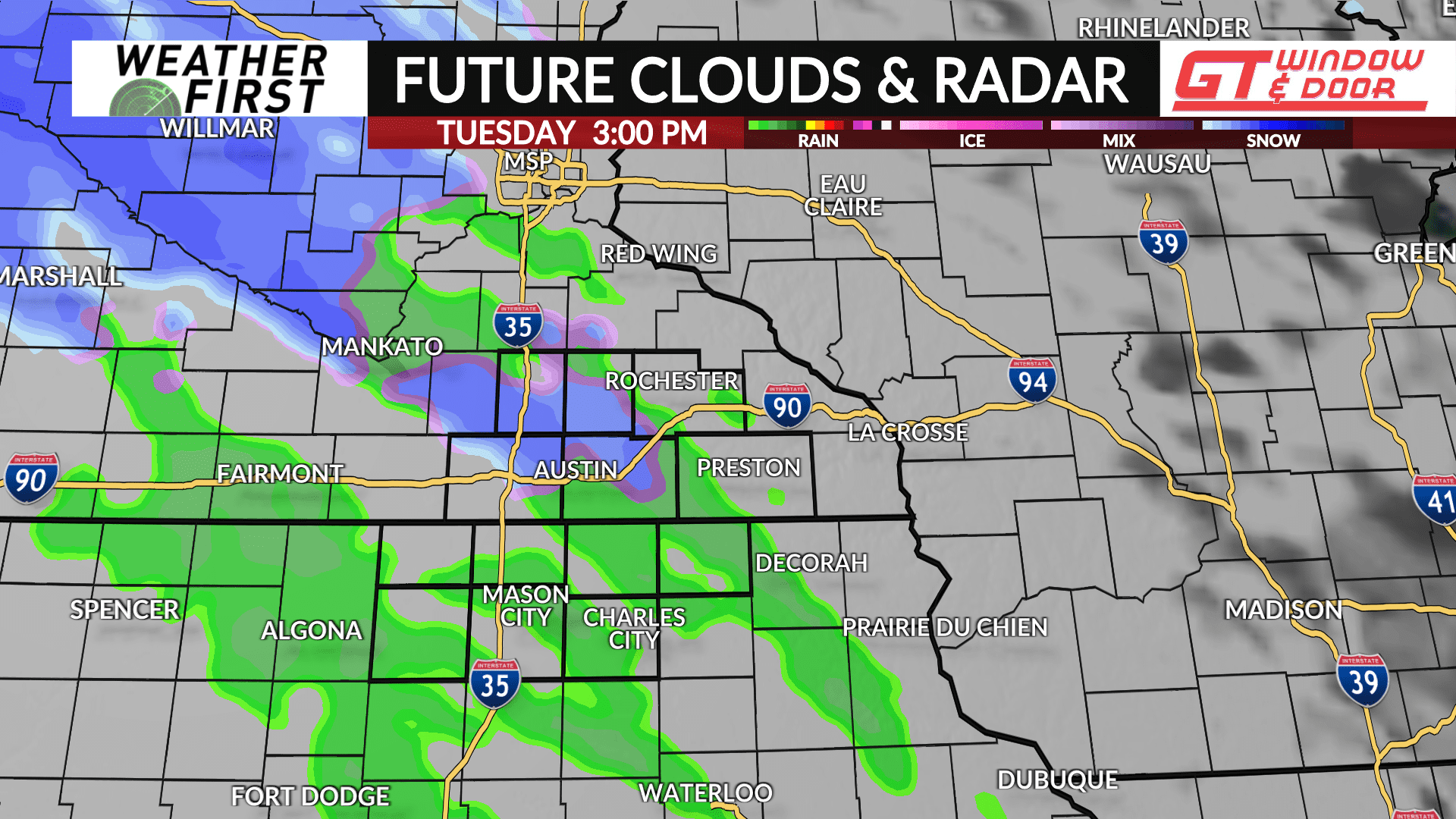
Precipitation will begin to develop across Western Minnesota and Northwest Iowa on Tuesday morning and spread east-to-northeast into North Iowa and Southeast Minnesota by late morning into the afternoon. Temperatures will be hovering around the middle-to-upper 30s so one or two degrees can make a difference on precipitation type so rain, snow or a mixture of both which will all be likely. Any snow accumulations are expected to be minor under one inch. It’ll be a breezy day with a southeast wind increasing to 30-35 mph by late afternoon into the evening.
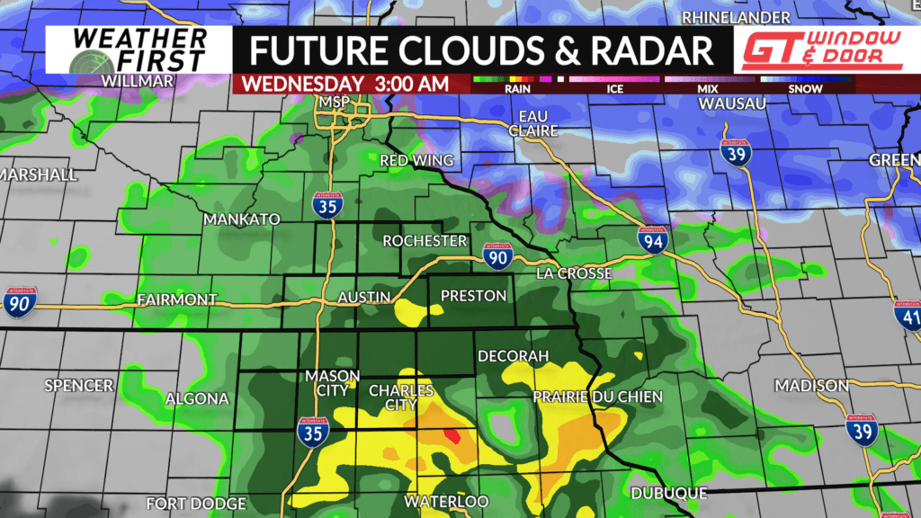
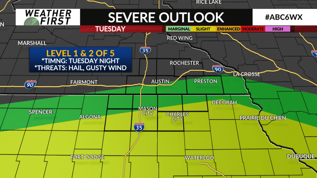
The rain, snow mix or snow will be likely Tuesday evening before the system pulls warmer air northward with any mix or snow changing to rain overnight into Wednesday. Some instability may also sneak into the area with a few thunderstorms possible. The Storm Prediction Center does have a low-end Level 1 (of 5) risk south of I-90 into far North Iowa with a Level 2 risk in place near and south of highway IA-9 in the northern portions of Iowa. Hail and gusty winds would be the main threat if any stronger thunderstorms develop.
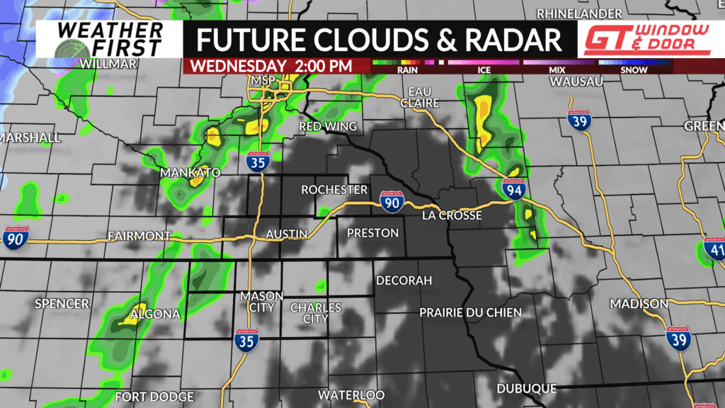
The storm system will pass overhead on Wednesday with some lingering showers and a few thunderstorms possible as the its cold front passes through. The severe threat is expected to be further east of the local area. Temperatures on Wednesday will push into the middle-to-upper 50s for highs due to a blustery southwest wind that may gust up to 35 mph at times.
Any rain will come to end by late afternoon or early evening.

