Weekend storm to bring rain, possibly snow by late Sunday
A storm system will impact the area this weekend with rain, breezy winds and possibly some snow late in the day on Sunday.
A warm front will pass north through the area on Friday and setup across Central Minnesota. This will put the Weather First area in record warm territory with high temperatures likely to be in the upper 70s to lower 80s.
The front will start to push a little further south into the area late Friday night into early Saturday. A few showers and thunderstorms will be possible as energy arrives from the main storm system that will move into the area over the weekend.
A few early morning showers are possible on Saturday with rain becoming more likely late morning into the afternoon hours. Rain showers will continue through Saturday night when some heavier downpours will be possible at times. High temperatures on Saturday will be near average around the middle 40s. It’ll be a breezy day with a north wind gusting up to 25 mph at times.
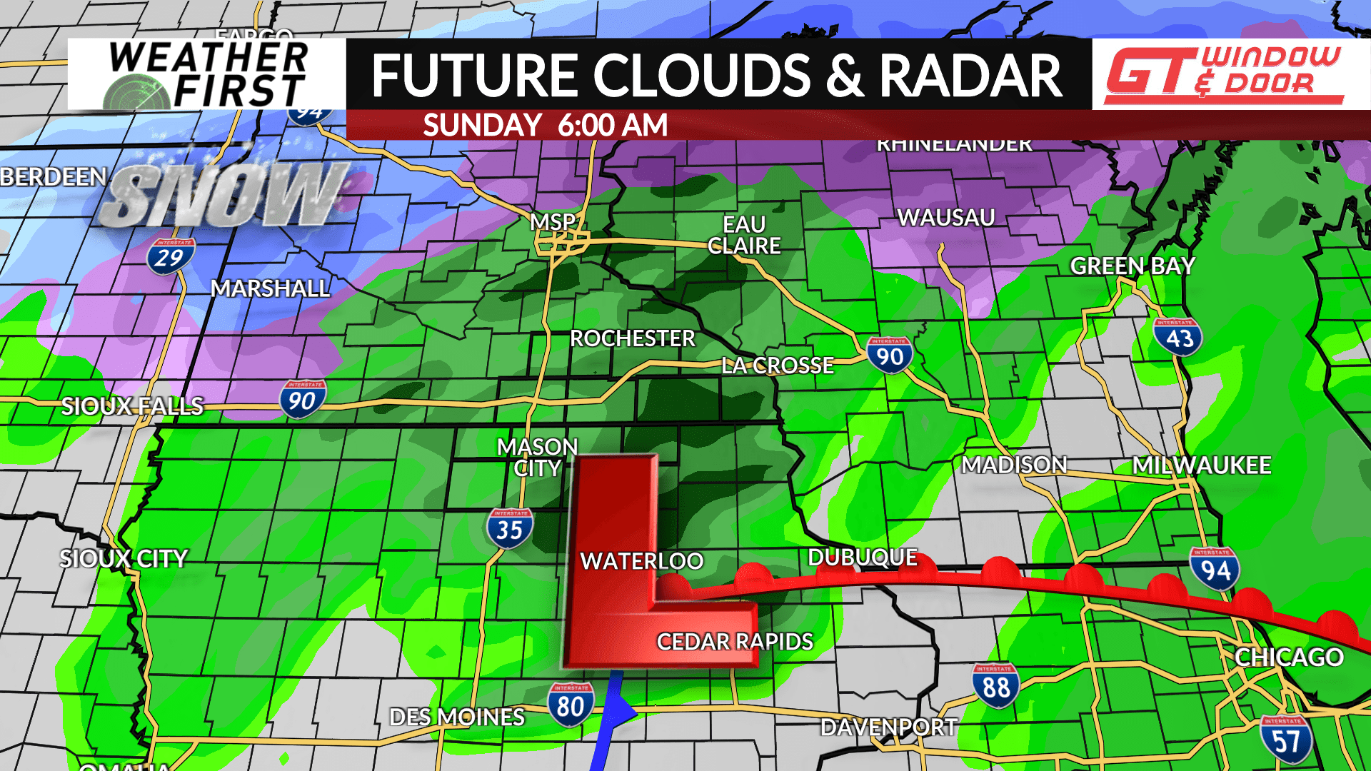
Rain showers will be possible on Sunday as the front slips further south of the area allowing for colder air to drift in. As the storm system pulls away, it’ll wraparound some moisture leading to the chance of snow by late afternoon through the evening with some slushy minor accumulations certainly possible, but any impacts are expected to be low, if any at all. High temperatures may not get out of the 30s for many, and the wind will be breezy out of the north with gusts up to 25 mph at times.
Precipitation is expected to end by Sunday night into Monday.


